Info on SummitPost: https://www.summitpost.org/devils-peak/799734
Drive Deer Creek Road just over one mile to a closed logging spur (elevation 1968′). Walk this road approximately two miles until reaching the third switchback (variations are possible – read agreenstreet’s page on Devils Thumb for an excellent route description and map). The road is not in great shape, but is suitable for pedestrians thanks to volunteer arborists armed with pruning saws. Upon reaching this switchback, look for flagging that will lead into the woods. The idea is to stay on the left side of the large creek draining Devils Lake (not the small creek you cross just after leaving the road) – it may be necessary to stay well left of this creek to avoid cliff bands and waterfalls. After about 3/4 mile, the terrain will level off, and you’ll find yourself in Devils Lake Basin.
SummitPost
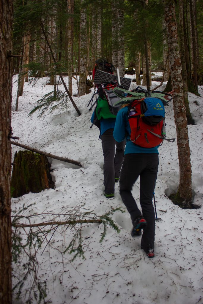
Road section
Hike the road for ~1.9 miles, 900 ft gain. The road is in pretty good condition, however you’re quite often stepping over fallen trees so don’t bother trying to mountain bike the road. Snow seems to stay on the road for quite a while.
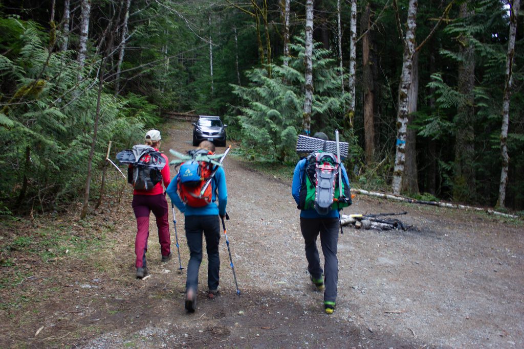
Starting off 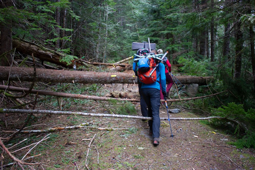
Cutting the switchback 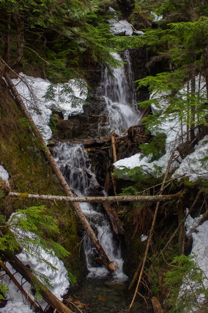
A nice waterfall on the last switchback
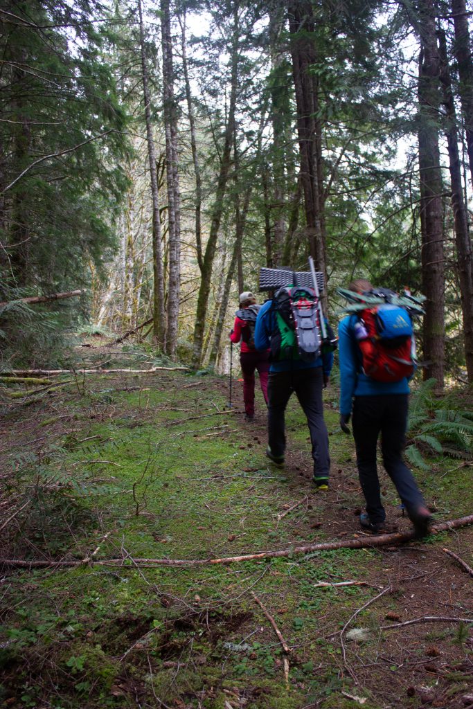
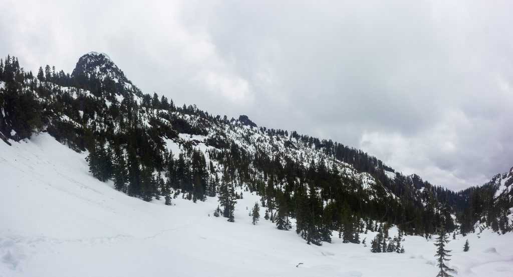
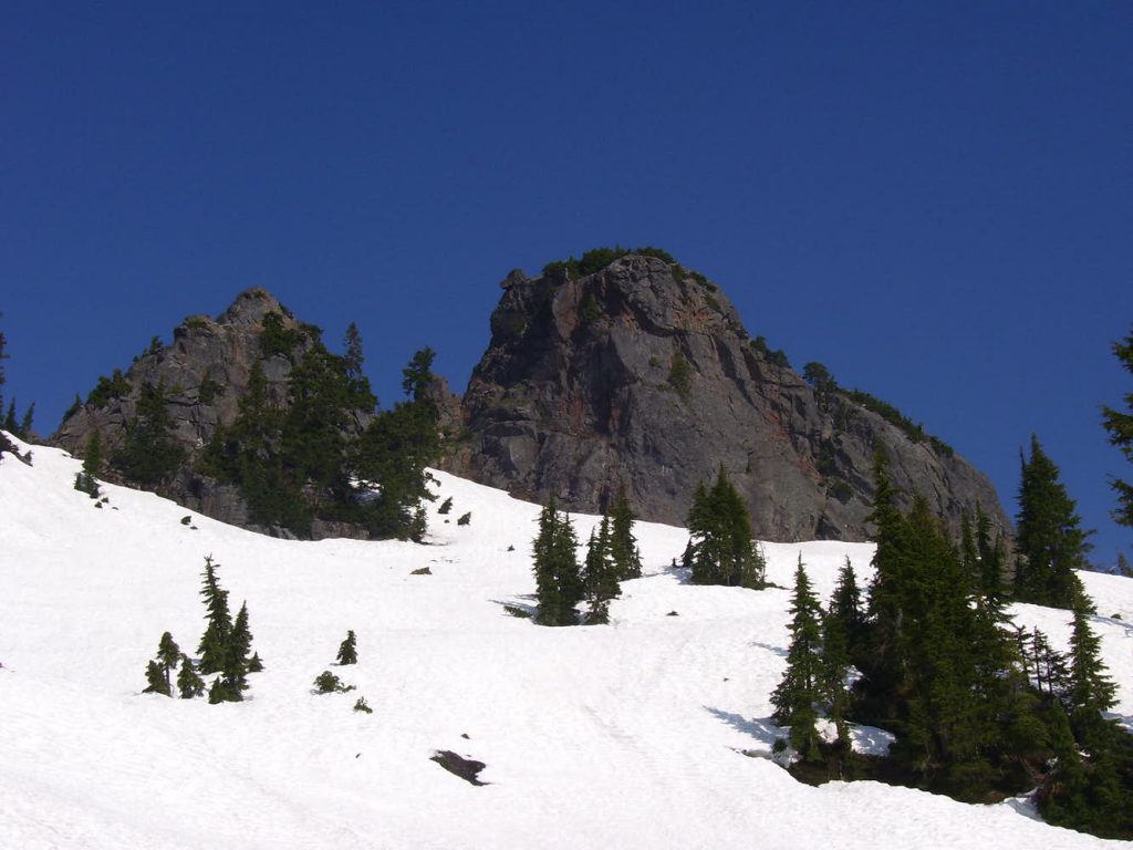
Up to the basin
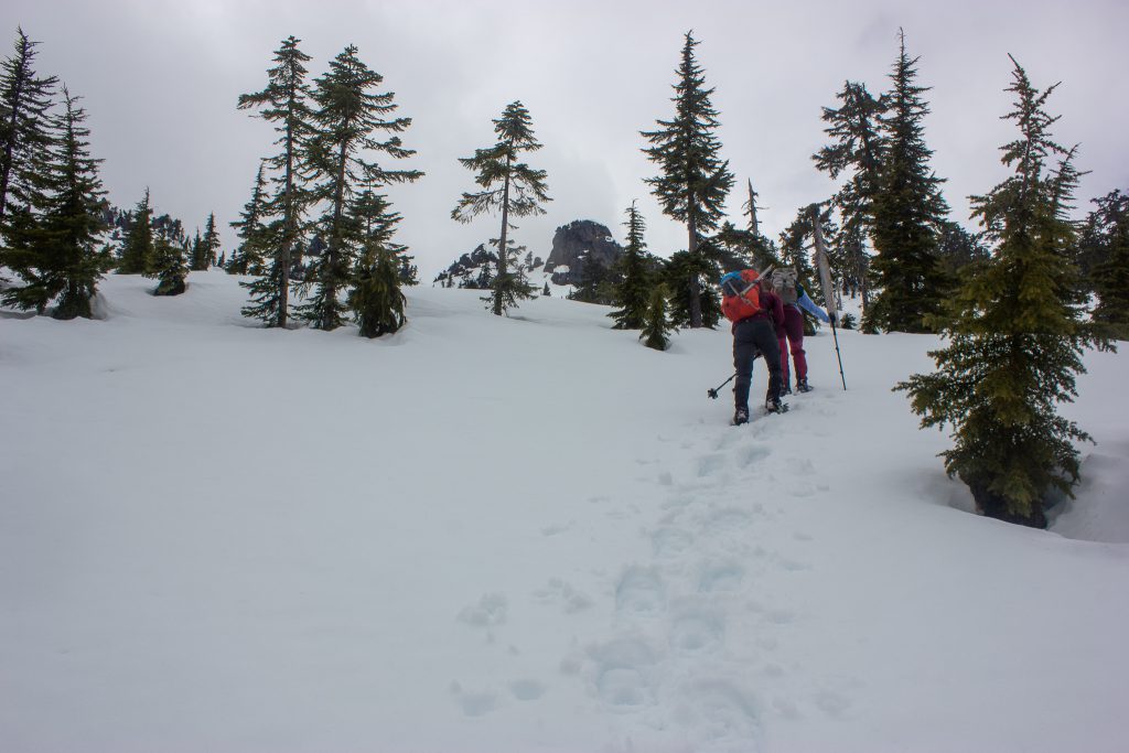
After the third switchback, head up the valley, keeping the stream close to the right. If the snow is gone, this is apparently a brutal bushwack. With snow, it’s quite nice. The trees are well-spaced, the angle is a nice steepness.
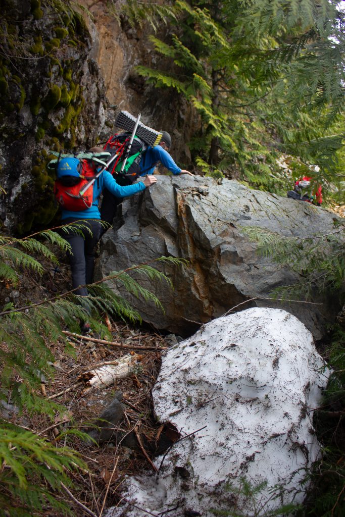
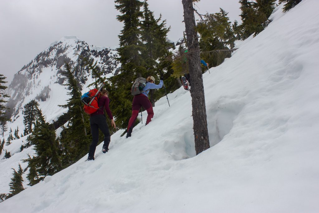
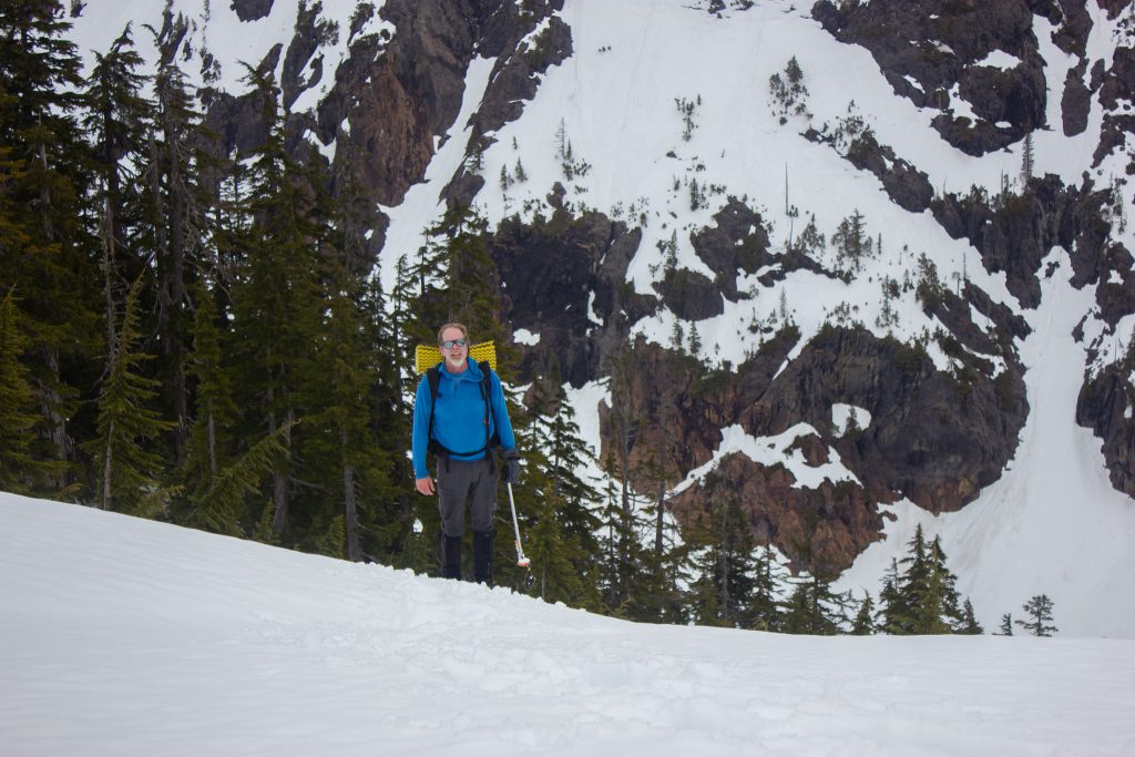
Basin to base
Finally things start to open up. There’s a steep ridge system on the left, but follow below it sidehilling on less steep terrain until you can finally turn up.

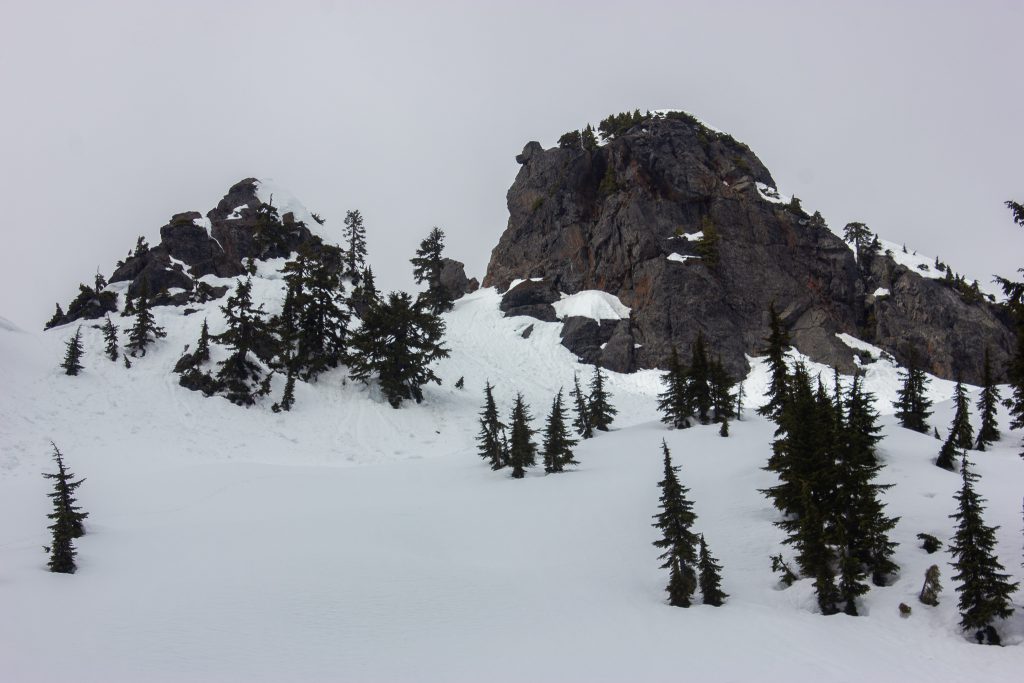
Things start to get a little steeper as you near the peak, but not crazy steep.
You’re finally near the summit block. The final slope up to the notch seems a bit steep (considering it avalanched).


Ascend to the obvious notch just to the south of the summit block.
From here, easy class 3 climbing will bring you to a small notch were the “real” climbing begins. At this point, just 30′ of easy class 4 climbing separates you from the ledge leading to the summit.
SummitPost
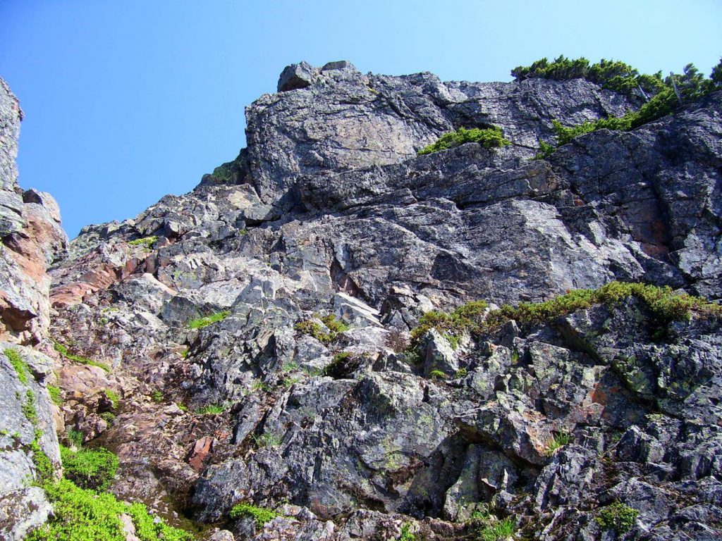
Summit block from below 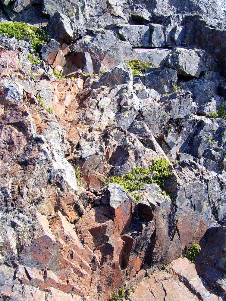
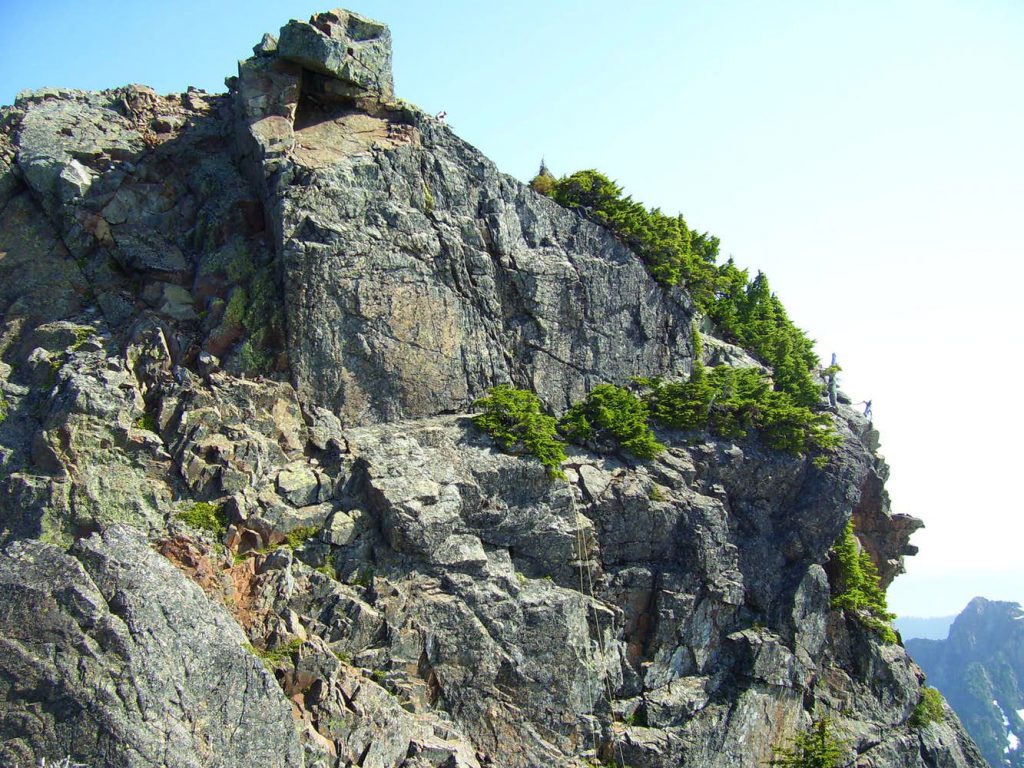
Close up of class 4 climbing on Devils Peak
The rock here is solid, and the hand and footholds are good. Braver souls will climb this portion unroped, but those desiring a belay can bring a few slings to loop over some small rock horns. Once finishing this section, an easy ledge leads to the right, then up, to the summit. The Cascade Alpine Guide recommends descending from the summit via rappel, but this seems unnecessary. An easy class 2 downclimb leads back to the ledge, where a 50′ rappel (i.e. 100′ rope) will bring you down to easy class 3. For those who want to rappel in style, a 75′ rappel (i.e. 150′ rope) will bring you down to easy class 2. The rappel tree is fairly obvious as it has about ten slings wrapped around it. In the picture below, one can see the ropes leading down from it.
SummitPost

Plans
Devils Peak
Forecast at ~4,300 ft elevation in the area (updated 4/16 2 PM) Friday Night: A 10 percent chance of snow after 5am. Snow level 5300 feet. Mostly cloudy, with a low around 38. Light and variable wind becoming west northwest around 6 mph in the evening. Saturday: A slight chance of rain and snow before…