Hike and scramble along Highway 2
<br/>
Stats
- 7 miles round trip
- 4,600 ft elevation gain
- Peak elevation: 6,240 ft
Things to bring
- At least 3 liters of water
Resources
Trip Reports
Why go?
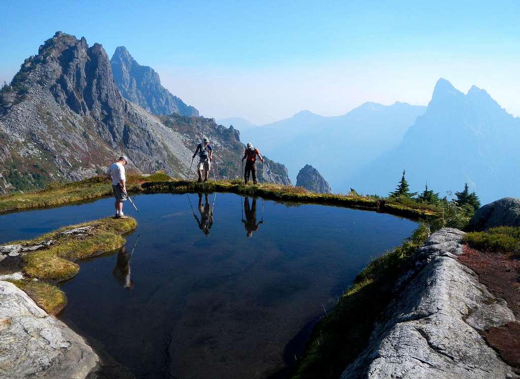
Some cool views and good scrambling
Difficulties encountered
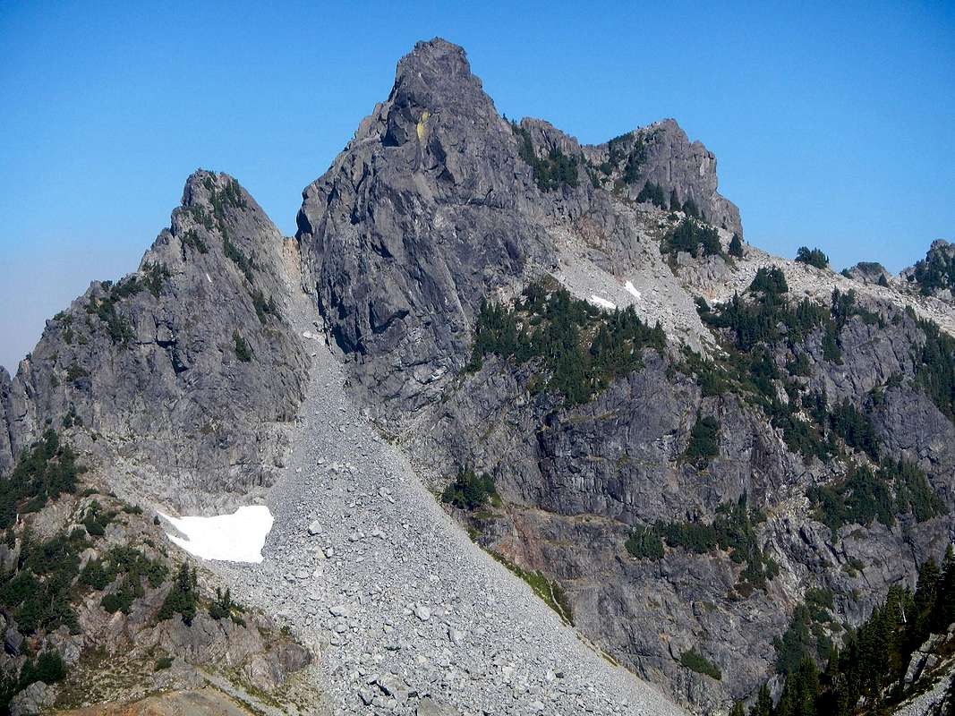
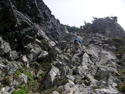
Redwic from SummitPost summarizes what the standard route involves quite well…
A sometimes trivial beginning, at least one creek crossing, a very steep forested trail, a waterfall crossing, possible brushy areas, at least one ridge crossing, boulder fields, scrambling, a narrow rock ledge traverse, and over 4000′ of elevation gain await those attempting this mountain via the standard route. With that said, those who are successful will likely feel a sense of accomplishment for the achievement. (Source)